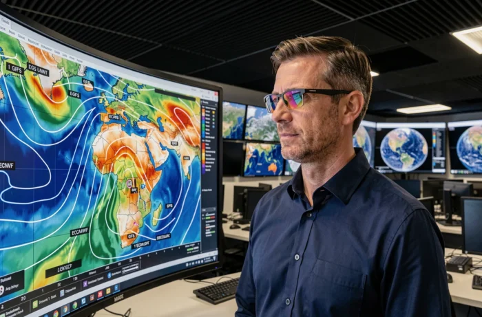
GFS and EURO (ECMWF) are the two most consulted global weather models in the world. They share the same goal of simulating atmospheric evolution over several days, but their architectures, input data, and computation cycles differ enough to produce sometimes contradictory forecasts. Understanding these discrepancies allows for better interpretation of a weather application and knowing when to rely on one model over the other.
Computational Grid and Downscaling: What Really Matters for Local Reliability
The spatial resolution of a model, that is, the size of the grid cells into which it divides the atmosphere, is often presented as the determining criterion. GFS uses a grid of about 13 km for its short-term forecasts, while the IFS of the ECMWF goes lower. In theory, a finer grid better captures terrain, coastlines, and surface contrasts.
In practice, resolution alone does not guarantee local reliability. Errors related to terrain, coastal breeze effects, or heterogeneous soils persist even with a fine grid. For a valley city or an agricultural plot in a valley bottom, the quality of downscaling (the post-processing that refines the raw forecast) and correction by local observations often weigh more than the choice between GFS and EURO.
A useful comparison between GFS and EURO forecasts therefore involves a parameter-by-parameter reading, rather than an overall ranking where one model is systematically superior.
ECMWF, GFS, and Artificial Intelligence: Weather Forecasts in Transition
The ECMWF no longer relies solely on its historical physical model (IFS). Since 2025, the European center has been using AIFS, an AI-based forecasting system, alongside the traditional IFS. The ensemble version of AIFS produces forecasts much faster than the physical model and achieves, according to the ECMWF, better results on several criteria, including surface temperature.
This advancement does not imply a uniform increase in reliability for all variables or all regions. Local convective phenomena (thunderstorms, hail) remain a weak point for AI approaches, which learn from historical data that is sometimes sparse for these rare events.
On the American side, NOAA is also working to integrate machine learning components into the GFS chain, but operational deployment is less advanced. The technological gap between EURO and GFS is widening in the AI aspect, which could alter their relative performances in the coming years.
Ensemble Forecasts: Fifty Scenarios Rather Than One
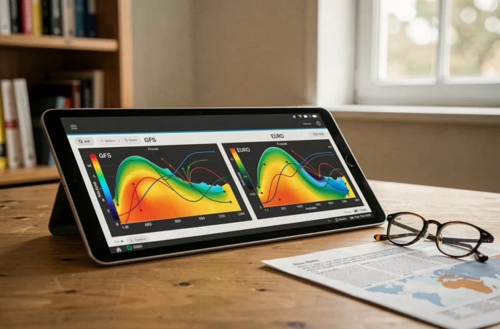
Both models offer ensemble runs, meaning several dozen slightly perturbed simulations to estimate uncertainty. The ECMWF ensemble (ENS) is generally considered more effective at identifying risk situations, thanks to a larger number of members and a more sophisticated initial perturbation.
GFS Ensemble (GEFS) offers free and quick access, making it a widely used first-read tool. Field reports diverge on the actual added value of one over the other beyond five days of forecast.
Weather Forecast Horizons: How Much to Trust GFS and EURO
Both models display forecasts up to ten days or even beyond. The question is not so much the duration covered but when the forecasts diverge and lose reliability.
- From 0 to 3 days, GFS and ECMWF usually converge. The discrepancies are more about the intensity of an event than its location. For temperature, precipitation, and wind, both models are usable.
- From 3 to 7 days, the ECMWF regularly gains the upper hand, particularly on the trajectories of Atlantic depressions and the position of fronts. GFS tends to produce more extreme solutions (deeper troughs, stronger anticyclones) that do not always verify.
- Beyond 7 days, the dispersion of ensembles increases significantly for both models. The available data do not allow for concluding that one model systematically dominates the other at this range. The most reliable approach is then to compare ensemble plumes rather than deterministic runs.
Weather Parameters and Geographical Context: Adapting the Model to the Situation
The comparative reliability of GFS and EURO varies depending on the observed parameter and geographical area. A single ranking masks these nuances.
Temperature and Atmospheric Pressure
For temperature at two meters, the ECMWF benefits from more advanced post-processing and denser data assimilation over Europe. For metropolitan France, EURO is generally more accurate on temperature than GFS, whose biases are more pronounced in hilly areas.
Precipitation and Convective Phenomena
Both global models struggle with localized thunderstorms, which are better suited to finer grid models like AROME (Météo-France). For large-scale frontal rains, the ECMWF shows higher verification scores over the North Atlantic and Western Europe. GFS remains competitive in North America, where its observation network is denser.
Wind and Waves
Maritime navigation applications (Windy, PredictWind) allow switching between the two models. In the Mediterranean, user feedback points to an advantage of the ECMWF in forecasting the mistral and tramontane, two winds channeled by the terrain that GFS tends to underestimate.
Reading GFS and EURO Forecasts on a Weather Application
Most public applications (Windy, Meteociel, Ventusky) allow users to choose the displayed model. Here are some practical tips to make the most of it:
- Display the same parameter, the same location, and the same forecast horizon on both models before comparing. Changing two variables at once does not allow for conclusions.
- Identify the forecast horizon at which GFS and EURO diverge. This point of separation gives an indication of the actual level of uncertainty in the forecast.
- Prefer ensemble maps (plumes, probabilities of exceeding thresholds) rather than a single deterministic run, especially beyond four days.
Choosing a weather model is not an act of faith. For short horizons, both are largely equivalent. For medium horizons, the ECMWF has a structural advantage over Europe, reinforced by the gradual integration of AI. GFS remains a valuable tool due to its free access and global coverage, provided its outputs are cross-referenced with those of EURO when the weather situation becomes uncertain.